Modern housing at Wivenhoe dry dock
Introduction
The photograph on this page of Modern housing at Wivenhoe dry dock by Bob Jones as part of the Geograph project.
The Geograph project started in 2005 with the aim of publishing, organising and preserving representative images for every square kilometre of Great Britain, Ireland and the Isle of Man.

There are currently over 7.5m images from over 14,400 individuals and you can help contribute to the project by visiting https://www.geograph.org.uk
Modern housing at Wivenhoe dry dock
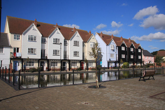
Image: © Bob Jones Taken: 8 Oct 2008
This shallow pond in front of the houses was once a dry dock, running at right angles to the quay at Wivenhoe. It has been filled in and a shallow pond created.
Images are licensed for reuse under creativecommons.org/licenses/by-sa/2.0
Image Location
Latitude
51.85492
Longitude
0.955742