Near Brownhill
Introduction
The photograph on this page of Near Brownhill by Anne Burgess as part of the Geograph project.
The Geograph project started in 2005 with the aim of publishing, organising and preserving representative images for every square kilometre of Great Britain, Ireland and the Isle of Man.

There are currently over 7.5m images from over 14,400 individuals and you can help contribute to the project by visiting https://www.geograph.org.uk
Near Brownhill
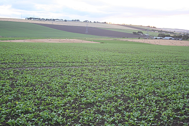
Image: © Anne Burgess Taken: 8 Oct 2008
The road just passes through the corner of the square here, offering a view across the square with next year's brassica crop. The farm at right is Middlehill, just beyond one of the pylons carrying the power line.
Images are licensed for reuse under creativecommons.org/licenses/by-sa/2.0
Image Location
Latitude
57.428446
Longitude
-2.460271