New road, between Moreton Hall estate and Rougham Airfield
Introduction
The photograph on this page of New road, between Moreton Hall estate and Rougham Airfield by John Goldsmith as part of the Geograph project.
The Geograph project started in 2005 with the aim of publishing, organising and preserving representative images for every square kilometre of Great Britain, Ireland and the Isle of Man.

There are currently over 7.5m images from over 14,400 individuals and you can help contribute to the project by visiting https://www.geograph.org.uk
New road, between Moreton Hall estate and Rougham Airfield
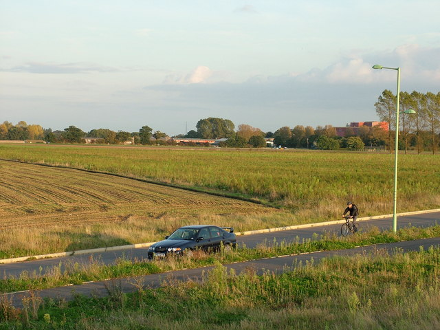
Image: © John Goldsmith Taken: 6 Oct 2008
This road is too new to appear on the Landranger maps on Geograph. The Moreton Hall estate is behind, Rougham Airfield in front. The industrial estate that grew from the wartime buildings can be seen in the distance in the next square. Those trees on the right feature in thousands of photos every year, thanks to the regular model and full size aircraft shows. This scene was photographed from the same earth pile as Image I'm hoping that cyclist has noticed my parked MG ZS180.
Images are licensed for reuse under creativecommons.org/licenses/by-sa/2.0
Image Location
Latitude
52.2467
Longitude
0.758