Moor Royd, near Upper Denby
Introduction
The photograph on this page of Moor Royd, near Upper Denby by Chris Yeates as part of the Geograph project.
The Geograph project started in 2005 with the aim of publishing, organising and preserving representative images for every square kilometre of Great Britain, Ireland and the Isle of Man.

There are currently over 7.5m images from over 14,400 individuals and you can help contribute to the project by visiting https://www.geograph.org.uk
Moor Royd, near Upper Denby
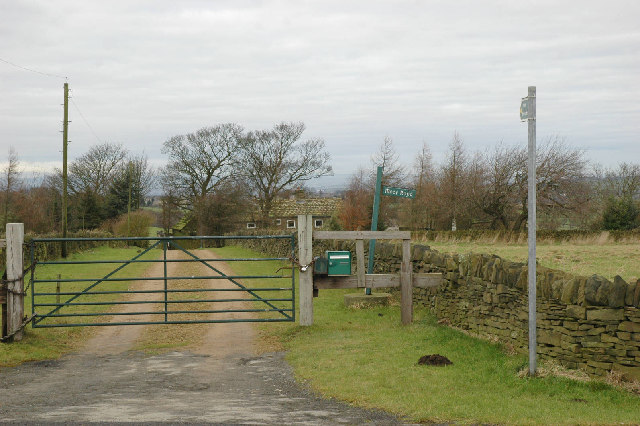
Image: © Chris Yeates Taken: 2 Jan 2006
With a green gate, green post-box and green signs . . . nestling among protective trees in its upland position.
Images are licensed for reuse under creativecommons.org/licenses/by-sa/2.0
Image Location
Latitude
53.560978
Longitude
-1.67538