Fanhaulog
Introduction
The photograph on this page of Fanhaulog by Graham Horn as part of the Geograph project.
The Geograph project started in 2005 with the aim of publishing, organising and preserving representative images for every square kilometre of Great Britain, Ireland and the Isle of Man.

There are currently over 7.5m images from over 14,400 individuals and you can help contribute to the project by visiting https://www.geograph.org.uk
Fanhaulog
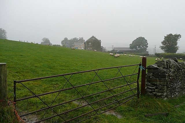
Image: © Graham Horn Taken: 4 Oct 2008
This upland between the Rhondda Fach and the Clydach valleys is not as high as some, so there is extensive sheep pasture adjacent to farms.
Images are licensed for reuse under creativecommons.org/licenses/by-sa/2.0
Image Location
Latitude
51.638708
Longitude
-3.376351