Inner City Redevelopment
Introduction
The photograph on this page of Inner City Redevelopment by Val Vannet as part of the Geograph project.
The Geograph project started in 2005 with the aim of publishing, organising and preserving representative images for every square kilometre of Great Britain, Ireland and the Isle of Man.

There are currently over 7.5m images from over 14,400 individuals and you can help contribute to the project by visiting https://www.geograph.org.uk
Inner City Redevelopment
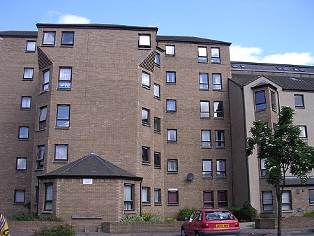
Image: © Val Vannet Taken: 26 May 2004
These 1990s flats, which are located in the north east corner of the square stand where once there were jute factories and tenements.
Images are licensed for reuse under creativecommons.org/licenses/by-sa/2.0
Image Location


Leaflet Map data © OpenStreetMap
Latitude
56.462868
Longitude
-2.96718