Riverside Walk above Totnes
Introduction
The photograph on this page of Riverside Walk above Totnes by Sarah Charlesworth as part of the Geograph project.
The Geograph project started in 2005 with the aim of publishing, organising and preserving representative images for every square kilometre of Great Britain, Ireland and the Isle of Man.

There are currently over 7.5m images from over 14,400 individuals and you can help contribute to the project by visiting https://www.geograph.org.uk
Riverside Walk above Totnes
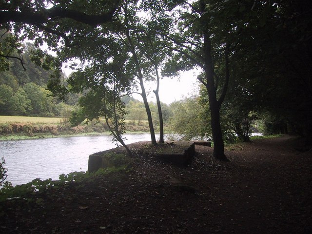
Image: © Sarah Charlesworth Taken: 4 Oct 2008
The concrete seen on the riverbank formed one abutment of a World war II bailey bridge.
Images are licensed for reuse under creativecommons.org/licenses/by-sa/2.0
Image Location


Leaflet Map data © OpenStreetMap
Latitude
50.435888
Longitude
-3.680807