From the Wrington Road - typical farmland
Introduction
The photograph on this page of From the Wrington Road - typical farmland by FollowMeChaps as part of the Geograph project.
The Geograph project started in 2005 with the aim of publishing, organising and preserving representative images for every square kilometre of Great Britain, Ireland and the Isle of Man.

There are currently over 7.5m images from over 14,400 individuals and you can help contribute to the project by visiting https://www.geograph.org.uk
From the Wrington Road - typical farmland
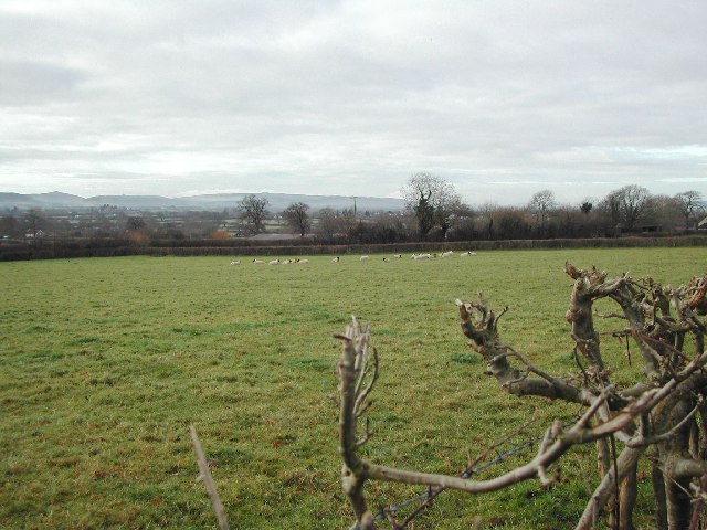
Image: © FollowMeChaps Taken: 2 Jan 2006
Looking South West across grid square. The western reaches of the Mendip Hills can be seen in the distance.
Images are licensed for reuse under creativecommons.org/licenses/by-sa/2.0
Image Location
Latitude
51.365236
Longitude
-2.784221