2008 : The Batch, High Littleton
Introduction
The photograph on this page of 2008 : The Batch, High Littleton by Maurice Pullin as part of the Geograph project.
The Geograph project started in 2005 with the aim of publishing, organising and preserving representative images for every square kilometre of Great Britain, Ireland and the Isle of Man.

There are currently over 7.5m images from over 14,400 individuals and you can help contribute to the project by visiting https://www.geograph.org.uk
2008 : The Batch, High Littleton
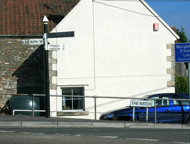
Image: © Maurice Pullin Taken: 20 Sep 2008
A batch is the North Somerset coalfield name for a slag heap, there would have been one near here, possibly still is. The following was copied from: http://www.highlittleton.org.uk/Parish%20Council%20Web/history.html High Littleton was probably settled by the Saxons in the late 7th or 8th century. They called it Lytel tun. The parish would have some of the earliest of the Somerset coal mines because here the coal seams ran obliquely to the surface. The first documentary evidence of mining in the parish dates from 1633 and the first deep mine in the parish was Mearns Coalworks which began in 1783. The wealth and work generated by the mines attracted people in and by 1800 the population had grown to about 800. In fact, production at these pits did not last very long and by 1820 most of the miners who lived in the parish worked in neighbouring villages. The Greyfield Coal Company did not start until 1833 and was at that time outside the parish. It received a boost with the opening of the railway in 1873. Greyfield Colliery closed in 1911 and the railway in 1964.
Images are licensed for reuse under creativecommons.org/licenses/by-sa/2.0
Image Location
Latitude
51.321079
Longitude
-2.508517