Footpath, South Zeal
Introduction
The photograph on this page of Footpath, South Zeal by Derek Harper as part of the Geograph project.
The Geograph project started in 2005 with the aim of publishing, organising and preserving representative images for every square kilometre of Great Britain, Ireland and the Isle of Man.

There are currently over 7.5m images from over 14,400 individuals and you can help contribute to the project by visiting https://www.geograph.org.uk
Footpath, South Zeal
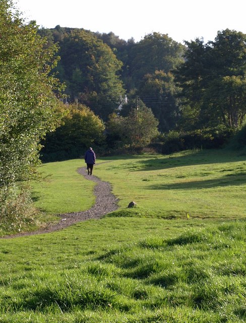
Image: © Derek Harper Taken: 27 Sep 2008
South Tawton Footpath 1 crosses the southern part of the field shown in Image, where it widens behind the adjacent plot to the east.
Images are licensed for reuse under creativecommons.org/licenses/by-sa/2.0
Image Location
Latitude
50.723513
Longitude
-3.91352