Willes Road meadow
Introduction
The photograph on this page of Willes Road meadow by David Stowell as part of the Geograph project.
The Geograph project started in 2005 with the aim of publishing, organising and preserving representative images for every square kilometre of Great Britain, Ireland and the Isle of Man.

There are currently over 7.5m images from over 14,400 individuals and you can help contribute to the project by visiting https://www.geograph.org.uk
Willes Road meadow
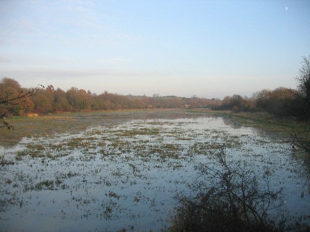
Image: © David Stowell Taken: 10 Dec 2005
Looking east across the flood meadow beside the River Leam fulfilling its purpose, with the moon already visible on this winter afternoon.
Images are licensed for reuse under creativecommons.org/licenses/by-sa/2.0
Image Location


Leaflet Map data © OpenStreetMap
Latitude
52.288487
Longitude
-1.526419