View of Highridge from Dundry Lane
Introduction
The photograph on this page of View of Highridge from Dundry Lane by Dr Duncan Pepper as part of the Geograph project.
The Geograph project started in 2005 with the aim of publishing, organising and preserving representative images for every square kilometre of Great Britain, Ireland and the Isle of Man.

There are currently over 7.5m images from over 14,400 individuals and you can help contribute to the project by visiting https://www.geograph.org.uk
View of Highridge from Dundry Lane
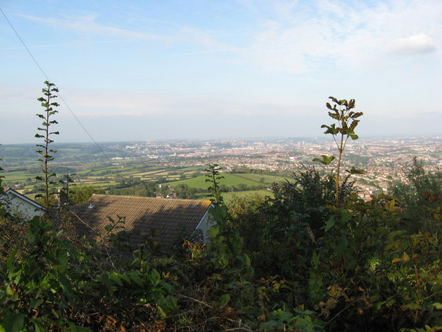
Image: © Dr Duncan Pepper Taken: 28 Sep 2008
An apt name for this locale, the high ridge on which Dundry is situated gives magnificent views over Southern Bristol.
Images are licensed for reuse under creativecommons.org/licenses/by-sa/2.0
Image Location
Latitude
51.403621
Longitude
-2.637667