Bath Road reservoir site
Introduction
The photograph on this page of Bath Road reservoir site by Graham Horn as part of the Geograph project.
The Geograph project started in 2005 with the aim of publishing, organising and preserving representative images for every square kilometre of Great Britain, Ireland and the Isle of Man.

There are currently over 7.5m images from over 14,400 individuals and you can help contribute to the project by visiting https://www.geograph.org.uk
Bath Road reservoir site
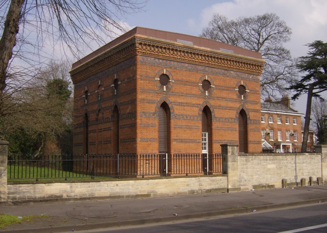
Image: © Graham Horn Taken: 25 Mar 2007
This is the pumping house for the reservoir, the embankments of which are behind the tree. They are no longer used, and there are plans for houses on the site, creating much controversy as there is a little nature colony grown up in there.
Images are licensed for reuse under creativecommons.org/licenses/by-sa/2.0
Image Location
Latitude
51.449298
Longitude
-0.990468