Rugby Road
Introduction
The photograph on this page of Rugby Road by Alan Murray-Rust as part of the Geograph project.
The Geograph project started in 2005 with the aim of publishing, organising and preserving representative images for every square kilometre of Great Britain, Ireland and the Isle of Man.

There are currently over 7.5m images from over 14,400 individuals and you can help contribute to the project by visiting https://www.geograph.org.uk
Rugby Road
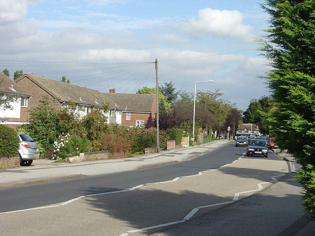
Image: © Alan Murray-Rust Taken: 23 Sep 2008
One of several roads locally named after British public schools. This is the main access to the housing estates to the west of Loughborough Road.
Images are licensed for reuse under creativecommons.org/licenses/by-sa/2.0
Image Location
Latitude
52.921902
Longitude
-1.140109