Junction of Winchester Road and Dale Road
Introduction
The photograph on this page of Junction of Winchester Road and Dale Road by Jim Champion as part of the Geograph project.
The Geograph project started in 2005 with the aim of publishing, organising and preserving representative images for every square kilometre of Great Britain, Ireland and the Isle of Man.

There are currently over 7.5m images from over 14,400 individuals and you can help contribute to the project by visiting https://www.geograph.org.uk
Junction of Winchester Road and Dale Road
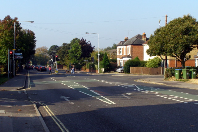
Image: © Jim Champion Taken: 28 Sep 2008
Dale Road (to the right) meets Winchester Road at this traffic-light controlled junction. The turning on the left leads to parking for some of the St James Close flats.
Images are licensed for reuse under creativecommons.org/licenses/by-sa/2.0
Image Location
Latitude
50.929005
Longitude
-1.428792