Loughborough Road at Boundary Road
Introduction
The photograph on this page of Loughborough Road at Boundary Road by Alan Murray-Rust as part of the Geograph project.
The Geograph project started in 2005 with the aim of publishing, organising and preserving representative images for every square kilometre of Great Britain, Ireland and the Isle of Man.

There are currently over 7.5m images from over 14,400 individuals and you can help contribute to the project by visiting https://www.geograph.org.uk
Loughborough Road at Boundary Road
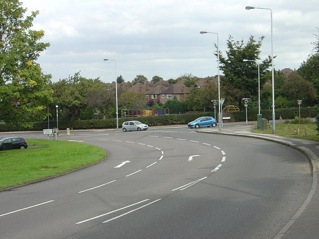
Image: © Alan Murray-Rust Taken: 23 Sep 2008
The sweeping curve marks the point at which Loughborough Road diverges from the old direct route over the top of Wilford Hill. Boundary Road would originally have marked the boundary of West Bridgford.
Images are licensed for reuse under creativecommons.org/licenses/by-sa/2.0
Image Location
Latitude
52.914498
Longitude
-1.135646