Perching Hovel Wood
Introduction
The photograph on this page of Perching Hovel Wood by Simon Carey as part of the Geograph project.
The Geograph project started in 2005 with the aim of publishing, organising and preserving representative images for every square kilometre of Great Britain, Ireland and the Isle of Man.

There are currently over 7.5m images from over 14,400 individuals and you can help contribute to the project by visiting https://www.geograph.org.uk
Perching Hovel Wood
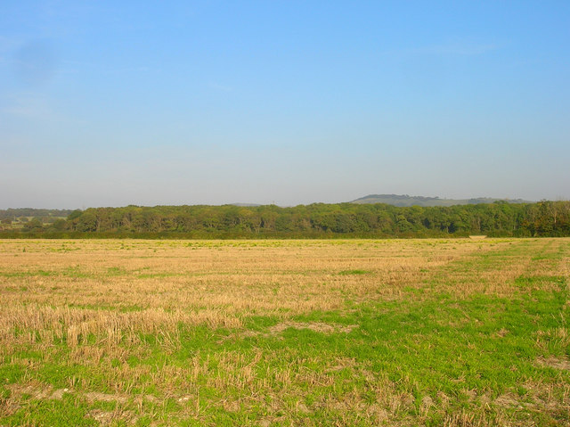
Image: © Simon Carey Taken: 27 Sep 2008
Viewed from the bridleway from Edburton to Catsland Farm. The current boundary between Horsham and Mid Sussex district councils runs north-south down the middle of the field. It follows an even older boundary that which once divided the rapes of Bramber and Lewes. Newtimber Hill can be seen beyond the wood in the background.
Images are licensed for reuse under creativecommons.org/licenses/by-sa/2.0
Image Location
Latitude
50.893033
Longitude
-0.239691