Pentire Avenue, Upper Shirley
Introduction
The photograph on this page of Pentire Avenue, Upper Shirley by Jim Champion as part of the Geograph project.
The Geograph project started in 2005 with the aim of publishing, organising and preserving representative images for every square kilometre of Great Britain, Ireland and the Isle of Man.

There are currently over 7.5m images from over 14,400 individuals and you can help contribute to the project by visiting https://www.geograph.org.uk
Pentire Avenue, Upper Shirley
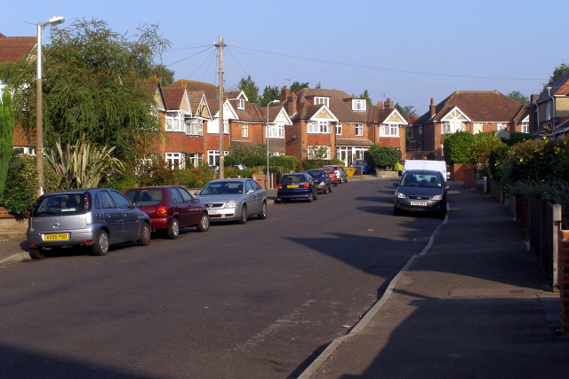
Image: © Jim Champion Taken: 28 Sep 2008
Looking north-west at the upper part of Pentire Avenue before it bends to the right to meet Luccombe Road.
Images are licensed for reuse under creativecommons.org/licenses/by-sa/2.0
Image Location
Latitude
50.929961
Longitude
-1.422093