Crossroads on Long Lane and Tavell's Lane, Marchwood
Introduction
The photograph on this page of Crossroads on Long Lane and Tavell's Lane, Marchwood by Peter Facey as part of the Geograph project.
The Geograph project started in 2005 with the aim of publishing, organising and preserving representative images for every square kilometre of Great Britain, Ireland and the Isle of Man.

There are currently over 7.5m images from over 14,400 individuals and you can help contribute to the project by visiting https://www.geograph.org.uk
Crossroads on Long Lane and Tavell's Lane, Marchwood
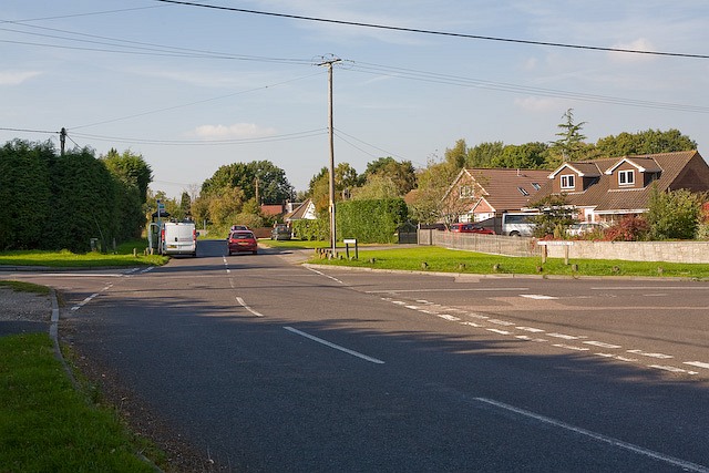
Image: © Peter Facey Taken: 27 Sep 2008
Four roads join here: Long Lane (behind camera), Staplewood Lane (left), Pooksgreen (ahead) and Tavell's Lane (right).
Images are licensed for reuse under creativecommons.org/licenses/by-sa/2.0
Image Location
Latitude
50.890863
Longitude
-1.463807