Bridleway crossing
Introduction
The photograph on this page of Bridleway crossing by Alan Murray-Rust as part of the Geograph project.
The Geograph project started in 2005 with the aim of publishing, organising and preserving representative images for every square kilometre of Great Britain, Ireland and the Isle of Man.

There are currently over 7.5m images from over 14,400 individuals and you can help contribute to the project by visiting https://www.geograph.org.uk
Bridleway crossing
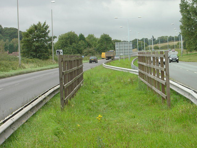
Image: © Alan Murray-Rust Taken: 23 Sep 2008
The fences act partly as barriers to prevent a straight crossing of the dual carriageway, but also afford some protection to equestrians making the crossing.
Images are licensed for reuse under creativecommons.org/licenses/by-sa/2.0
Image Location
Latitude
52.9022
Longitude
-1.12578