Junction of Normandy Way and Cracknore Hard Lane
Introduction
The photograph on this page of Junction of Normandy Way and Cracknore Hard Lane by Peter Facey as part of the Geograph project.
The Geograph project started in 2005 with the aim of publishing, organising and preserving representative images for every square kilometre of Great Britain, Ireland and the Isle of Man.

There are currently over 7.5m images from over 14,400 individuals and you can help contribute to the project by visiting https://www.geograph.org.uk
Junction of Normandy Way and Cracknore Hard Lane
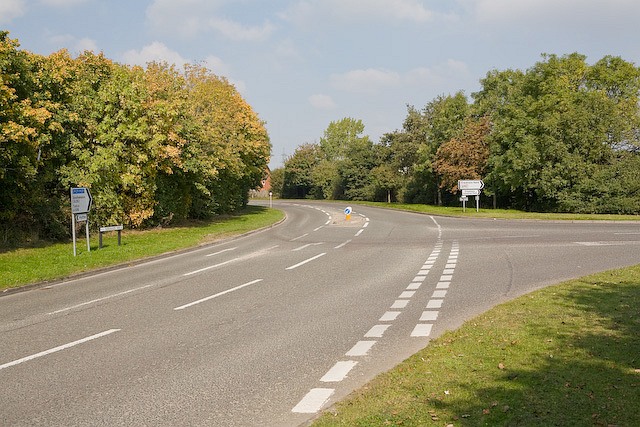
Image: © Peter Facey Taken: 27 Sep 2008
The road at right afford access to McMullen Barracks, Marchwood Military Port and Marchwood Industrial Park.
Images are licensed for reuse under creativecommons.org/licenses/by-sa/2.0
Image Location


Leaflet Map data © OpenStreetMap
Latitude
50.890674
Longitude
-1.442625