Junction and houses in Penn, Wolverhampton
Introduction
The photograph on this page of Junction and houses in Penn, Wolverhampton by Roger D Kidd as part of the Geograph project.
The Geograph project started in 2005 with the aim of publishing, organising and preserving representative images for every square kilometre of Great Britain, Ireland and the Isle of Man.

There are currently over 7.5m images from over 14,400 individuals and you can help contribute to the project by visiting https://www.geograph.org.uk
Junction and houses in Penn, Wolverhampton
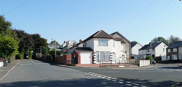
Image: © Roger D Kidd Taken: 26 Sep 2008
The camera is looking towards the top of Westbourne Road. To the right is Birchwood Road, and forking to the right by the white corner house is Rycroft Avenue. This white house, until the 1980s used to be a small corner store, and was for a few years run by a couple, both of whom became Conservative Wolverhampton councillors.
Images are licensed for reuse under creativecommons.org/licenses/by-sa/2.0
Image Location


Leaflet Map data © OpenStreetMap
Latitude
52.564177
Longitude
-2.140398