Farmhill Lane, Stroud
Introduction
The photograph on this page of Farmhill Lane, Stroud by Derek Harper as part of the Geograph project.
The Geograph project started in 2005 with the aim of publishing, organising and preserving representative images for every square kilometre of Great Britain, Ireland and the Isle of Man.

There are currently over 7.5m images from over 14,400 individuals and you can help contribute to the project by visiting https://www.geograph.org.uk
Farmhill Lane, Stroud
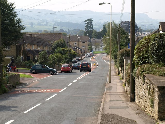
Image: © Derek Harper Taken: 18 Sep 2008
This is the road from Whiteshill dropping towards the Paganhill area of Stroud. Traffic is waiting to turn out of Mathews Way.
Images are licensed for reuse under creativecommons.org/licenses/by-sa/2.0
Image Location
Latitude
51.750748
Longitude
-2.235347