The Old Belfast Road, Downpatrick (1)
Introduction
The photograph on this page of The Old Belfast Road, Downpatrick (1) by Albert Bridge as part of the Geograph project.
The Geograph project started in 2005 with the aim of publishing, organising and preserving representative images for every square kilometre of Great Britain, Ireland and the Isle of Man.

There are currently over 7.5m images from over 14,400 individuals and you can help contribute to the project by visiting https://www.geograph.org.uk
The Old Belfast Road, Downpatrick (1)
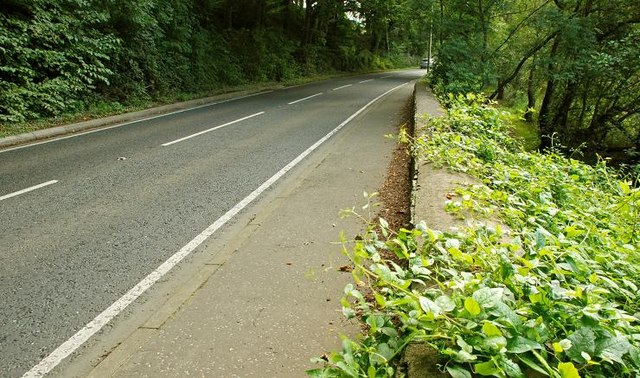
Image: © Albert Bridge Taken: 24 Sep 2008
A wooded stretch of the Old Belfast Road, south of the Quoile Bridge Image The Quoile Image is behind the trees on the right. 18th century Downpatrick was an important administrative centre and little effort is needed to imagine the mail coach, or the prison wagon heading for the Assizes, passing here – don’t think there were any white lines or cats’ eyes then though.
Images are licensed for reuse under creativecommons.org/licenses/by-sa/2.0
Image Location


Leaflet Map data © OpenStreetMap
Latitude
54.341558
Longitude
-5.713655