Dingleton Road
Introduction
The photograph on this page of Dingleton Road by G Laird as part of the Geograph project.
The Geograph project started in 2005 with the aim of publishing, organising and preserving representative images for every square kilometre of Great Britain, Ireland and the Isle of Man.

There are currently over 7.5m images from over 14,400 individuals and you can help contribute to the project by visiting https://www.geograph.org.uk
Dingleton Road
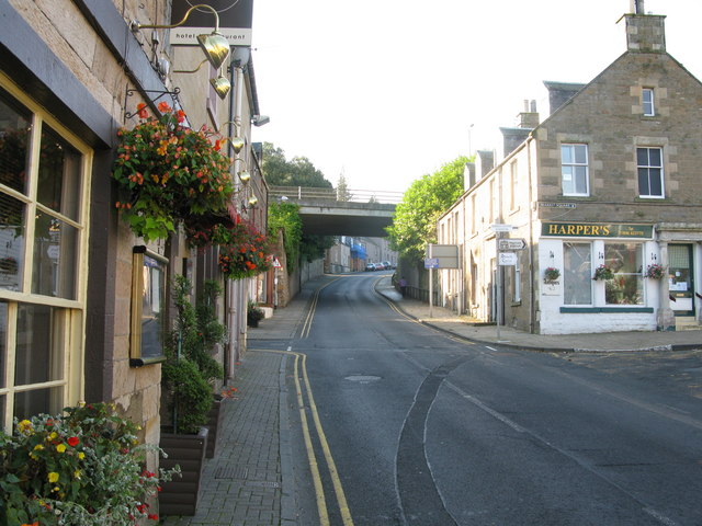
Image: © G Laird Taken: 21 Sep 2008
This is also the B6359 which runs south from Melrose Market Square. The bridge in the background carries the A6091 Melrose by-pass. Dingleton Road also leads to the starting point for a walk to the Eildon Hills. Shortly after the bridge the Eildon Walk is clearly signposted between 2 buildings.
Images are licensed for reuse under creativecommons.org/licenses/by-sa/2.0
Image Location


Leaflet Map data © OpenStreetMap
Latitude
55.596249
Longitude
-2.719771