Thatcham Housing Estate
Introduction
The photograph on this page of Thatcham Housing Estate by Pam Brophy as part of the Geograph project.
The Geograph project started in 2005 with the aim of publishing, organising and preserving representative images for every square kilometre of Great Britain, Ireland and the Isle of Man.

There are currently over 7.5m images from over 14,400 individuals and you can help contribute to the project by visiting https://www.geograph.org.uk
Thatcham Housing Estate
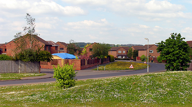
Image: © Pam Brophy Taken: 13 May 2005
This modern housing development is typical of those to be found in the Thatcham area. This section of the housing estate is to be found in the centre of the grid square at the bottom of the estate just north of the railway line. About 40% of this square is housing estate, the rest being the edges of Jubilee and Long Lake from the Thatcham Reedbed Nature Reserve and Discovery Centre.
Images are licensed for reuse under creativecommons.org/licenses/by-sa/2.0
Image Location


Leaflet Map data © OpenStreetMap
Latitude
51.395207
Longitude
-1.261163