Waymarked trail, Nineveh Wood
Introduction
The photograph on this page of Waymarked trail, Nineveh Wood by Rose and Trev Clough as part of the Geograph project.
The Geograph project started in 2005 with the aim of publishing, organising and preserving representative images for every square kilometre of Great Britain, Ireland and the Isle of Man.

There are currently over 7.5m images from over 14,400 individuals and you can help contribute to the project by visiting https://www.geograph.org.uk
Waymarked trail, Nineveh Wood
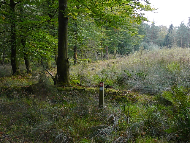
Image: © Rose and Trev Clough Taken: 21 Sep 2008
One of several permissive paths through the privately owned Netherby Woodlands.
Images are licensed for reuse under creativecommons.org/licenses/by-sa/2.0
Image Location
Latitude
55.02253
Longitude
-3.006329