Docklands skyscrapers from Greenwich riverfront
Introduction
The photograph on this page of Docklands skyscrapers from Greenwich riverfront by John Davies as part of the Geograph project.
The Geograph project started in 2005 with the aim of publishing, organising and preserving representative images for every square kilometre of Great Britain, Ireland and the Isle of Man.

There are currently over 7.5m images from over 14,400 individuals and you can help contribute to the project by visiting https://www.geograph.org.uk
Docklands skyscrapers from Greenwich riverfront
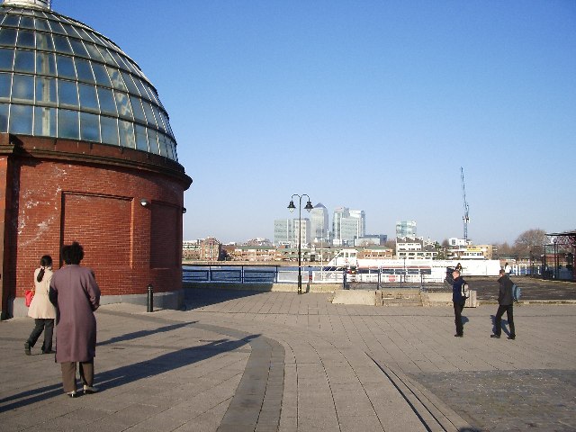
Image: © John Davies Taken: 28 Dec 2005
The dome on the left is the entrance to the foot tunnel under the Thames. The Cutty Sark is just behind us, to our right.
Images are licensed for reuse under creativecommons.org/licenses/by-sa/2.0
Image Location
Latitude
51.482327
Longitude
-0.014022