Churchyard gate, Whiteshill
Introduction
The photograph on this page of Churchyard gate, Whiteshill by Derek Harper as part of the Geograph project.
The Geograph project started in 2005 with the aim of publishing, organising and preserving representative images for every square kilometre of Great Britain, Ireland and the Isle of Man.

There are currently over 7.5m images from over 14,400 individuals and you can help contribute to the project by visiting https://www.geograph.org.uk
Churchyard gate, Whiteshill
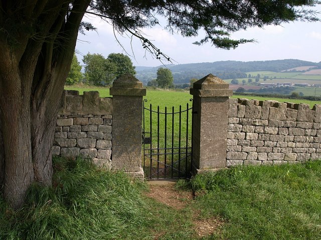
Image: © Derek Harper Taken: 18 Sep 2008
This gate, under a yew tree, can be seen in Image It leads out onto a footpath from Callowell into the centre of the village. Beyond is a glimpse of the Painswick Stream valley.
Images are licensed for reuse under creativecommons.org/licenses/by-sa/2.0
Image Location
Latitude
51.759836
Longitude
-2.231627