The A303, West Knoyle
Introduction
The photograph on this page of The A303, West Knoyle by Andrew Smith as part of the Geograph project.
The Geograph project started in 2005 with the aim of publishing, organising and preserving representative images for every square kilometre of Great Britain, Ireland and the Isle of Man.

There are currently over 7.5m images from over 14,400 individuals and you can help contribute to the project by visiting https://www.geograph.org.uk
The A303, West Knoyle
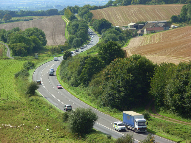
Image: © Andrew Smith Taken: 13 Sep 2008
Looking down from the access land to the south of the road on Chaddenwick Hill. Here it is a single carriageway road with an overtaking lane provided for traffic travelling uphill. Pitching Piece Farm is on the right with a turning for West Knoyle on the left.
Images are licensed for reuse under creativecommons.org/licenses/by-sa/2.0
Image Location
Latitude
51.096086
Longitude
-2.227006