Former school, Newton on Ouse
Introduction
The photograph on this page of Former school, Newton on Ouse by Gordon Hatton as part of the Geograph project.
The Geograph project started in 2005 with the aim of publishing, organising and preserving representative images for every square kilometre of Great Britain, Ireland and the Isle of Man.

There are currently over 7.5m images from over 14,400 individuals and you can help contribute to the project by visiting https://www.geograph.org.uk
Former school, Newton on Ouse
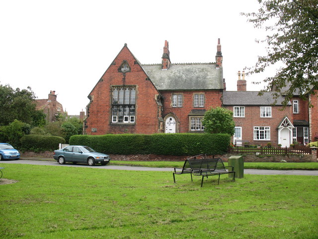
Image: © Gordon Hatton Taken: 17 Sep 2008
Both this building and the village hall [see photo in this square] were once schools. If the descriptions are correctly matched to the buildings, this one would have been the infant school of 1857. Both schools in the village were built and maintained at the expense of the Hon. Payan Dawnay of Beningbrough Hall.
Images are licensed for reuse under creativecommons.org/licenses/by-sa/2.0
Image Location


Leaflet Map data © OpenStreetMap
Latitude
54.033453
Longitude
-1.219791