Old Vicarage Cottage
Introduction
The photograph on this page of Old Vicarage Cottage by Simon Carey as part of the Geograph project.
The Geograph project started in 2005 with the aim of publishing, organising and preserving representative images for every square kilometre of Great Britain, Ireland and the Isle of Man.

There are currently over 7.5m images from over 14,400 individuals and you can help contribute to the project by visiting https://www.geograph.org.uk
Old Vicarage Cottage
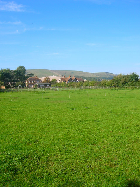
Image: © Simon Carey Taken: 21 Sep 2008
Rear view of the cottage on the left from the footpath that links Iford to the southern edge of Lewes. The building to the right contains Silverdale and Hillview both brick built 1930s houses. Swanborough Hill provides the backdrop.
Images are licensed for reuse under creativecommons.org/licenses/by-sa/2.0
Image Location
Latitude
50.84882
Longitude
-0.006954