Iford Farm
Introduction
The photograph on this page of Iford Farm by Simon Carey as part of the Geograph project.
The Geograph project started in 2005 with the aim of publishing, organising and preserving representative images for every square kilometre of Great Britain, Ireland and the Isle of Man.

There are currently over 7.5m images from over 14,400 individuals and you can help contribute to the project by visiting https://www.geograph.org.uk
Iford Farm
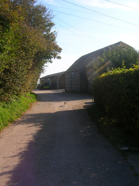
Image: © Simon Carey Taken: 21 Sep 2008
More outbuildings for the local farm which covers most of the southern half of the village. The lane continues past the buildings then out onto The Brooks along Sutton Wall.
Images are licensed for reuse under creativecommons.org/licenses/by-sa/2.0
Image Location
Latitude
50.846056
Longitude
0.002162