Bow Lane
Introduction
The photograph on this page of Bow Lane by Martin Addison as part of the Geograph project.
The Geograph project started in 2005 with the aim of publishing, organising and preserving representative images for every square kilometre of Great Britain, Ireland and the Isle of Man.

There are currently over 7.5m images from over 14,400 individuals and you can help contribute to the project by visiting https://www.geograph.org.uk
Bow Lane
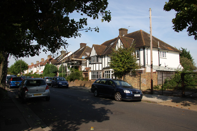
Image: © Martin Addison Taken: 20 Sep 2008
Semi-detached housing in mock tudor style next to Bow Lane Playing Fields.
Images are licensed for reuse under creativecommons.org/licenses/by-sa/2.0
Image Location
Latitude
51.605124
Longitude
-0.177774