Lowfield Farm Gravel Pits
Introduction
The photograph on this page of Lowfield Farm Gravel Pits by Rosalind Mitchell as part of the Geograph project.
The Geograph project started in 2005 with the aim of publishing, organising and preserving representative images for every square kilometre of Great Britain, Ireland and the Isle of Man.

There are currently over 7.5m images from over 14,400 individuals and you can help contribute to the project by visiting https://www.geograph.org.uk
Lowfield Farm Gravel Pits
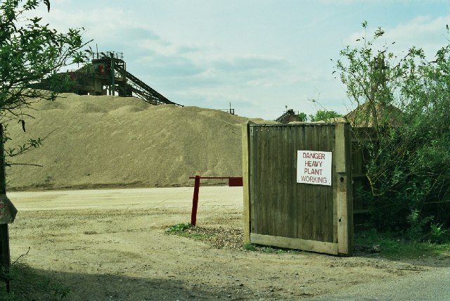
Image: © Rosalind Mitchell Taken: 12 May 2005
There are extensive gravel workings all along this part of the thames valley. Once the workings are finished, the beneficiaries are wildfowl and boating people.
Images are licensed for reuse under creativecommons.org/licenses/by-sa/2.0
Image Location


Leaflet Map data © OpenStreetMap
Latitude
51.473698
Longitude
-0.943134