Railway Terrace, Colwall Green
Introduction
The photograph on this page of Railway Terrace, Colwall Green by Derek Harper as part of the Geograph project.
The Geograph project started in 2005 with the aim of publishing, organising and preserving representative images for every square kilometre of Great Britain, Ireland and the Isle of Man.

There are currently over 7.5m images from over 14,400 individuals and you can help contribute to the project by visiting https://www.geograph.org.uk
Railway Terrace, Colwall Green
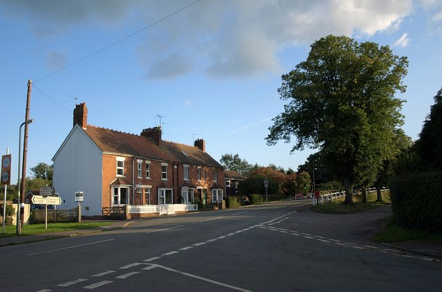
Image: © Derek Harper Taken: 13 Sep 2008
The road junction is formed by the lane from Colwall church meeting the B4218 Malvern-Ledbury road. The railway line runs a little way behind the terrace of 4 houses and on the right are the traffic lights controlling traffic across the weak bridge across the line - see Image
Images are licensed for reuse under creativecommons.org/licenses/by-sa/2.0
Image Location


Leaflet Map data © OpenStreetMap
Latitude
52.074987
Longitude
-2.365009