Field near Coddington
Introduction
The photograph on this page of Field near Coddington by Derek Harper as part of the Geograph project.
The Geograph project started in 2005 with the aim of publishing, organising and preserving representative images for every square kilometre of Great Britain, Ireland and the Isle of Man.

There are currently over 7.5m images from over 14,400 individuals and you can help contribute to the project by visiting https://www.geograph.org.uk
Field near Coddington
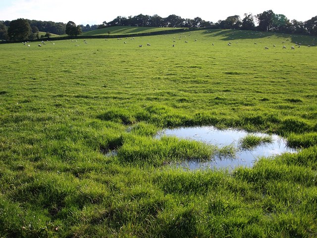
Image: © Derek Harper Taken: 13 Sep 2008
Taken, I think, from the same spot as Image; heavy rain the previous day has left a puddle. Seen from the road between Coddington Cross and Colwall.
Images are licensed for reuse under creativecommons.org/licenses/by-sa/2.0
Image Location


Leaflet Map data © OpenStreetMap
Latitude
52.083874
Longitude
-2.397041