Derelict building - windmill?
Introduction
The photograph on this page of Derelict building - windmill? by Robin Hall as part of the Geograph project.
The Geograph project started in 2005 with the aim of publishing, organising and preserving representative images for every square kilometre of Great Britain, Ireland and the Isle of Man.

There are currently over 7.5m images from over 14,400 individuals and you can help contribute to the project by visiting https://www.geograph.org.uk
Derelict building - windmill?
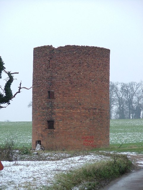
Image: © Robin Hall Taken: 29 Dec 2005
It says "Danger unsafe keep out. OK then. I would guess that this was a windmill but then again........ Update (Jan 2019) We have heard from a relative of the farmer who built this and have been informed that it was built to store maize silage in around 1900-1903 but only used until about 1914 because it proved impractical.
Images are licensed for reuse under creativecommons.org/licenses/by-sa/2.0
Image Location


Leaflet Map data © OpenStreetMap
Latitude
51.862654
Longitude
-0.177407