Crosshill Av
Introduction
The photograph on this page of Crosshill Av by Alan Murray Walsh as part of the Geograph project.
The Geograph project started in 2005 with the aim of publishing, organising and preserving representative images for every square kilometre of Great Britain, Ireland and the Isle of Man.

There are currently over 7.5m images from over 14,400 individuals and you can help contribute to the project by visiting https://www.geograph.org.uk
Crosshill Av
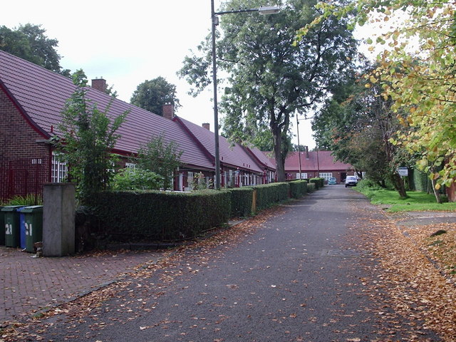
Image: © Alan Murray Walsh Taken: 20 Sep 2008
On the original site of Crosshill House with links back to Medieval times this sheltered housing project in Crosshill Av. is a simple design of a Townscape (red brick, small-paned casements, red tile roofs etc.) They became category ‘B’ listed buildings in 1949 forty years after construction. It received a Festival of Britain Award of Merit in 1951.
Images are licensed for reuse under creativecommons.org/licenses/by-sa/2.0
Image Location
Latitude
55.831812
Longitude
-4.258642