Old Course of A27
Introduction
The photograph on this page of Old Course of A27 by Simon Carey as part of the Geograph project.
The Geograph project started in 2005 with the aim of publishing, organising and preserving representative images for every square kilometre of Great Britain, Ireland and the Isle of Man.

There are currently over 7.5m images from over 14,400 individuals and you can help contribute to the project by visiting https://www.geograph.org.uk
Old Course of A27
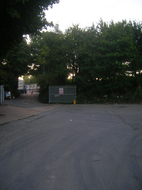
Image: © Simon Carey Taken: 20 Sep 2008
Until the mid 1970s the A27 headed out of Lewes via South Street turned a sharp bend at Southerham then climbed Ranscombe Hill here. The narrow road was superseded by a larger trunk road when the Lewes by-pass was built, though that too has recently been widened between Beddingham and Southerham Roundabout. The entrance to the left leads to a work site based in an old chalk pit whilst the new access road to the A27 heads off to the right.
Images are licensed for reuse under creativecommons.org/licenses/by-sa/2.0
Image Location
Latitude
50.864669
Longitude
0.028397