Angus farmland east of Monifieth
Introduction
The photograph on this page of Angus farmland east of Monifieth by Val Vannet as part of the Geograph project.
The Geograph project started in 2005 with the aim of publishing, organising and preserving representative images for every square kilometre of Great Britain, Ireland and the Isle of Man.

There are currently over 7.5m images from over 14,400 individuals and you can help contribute to the project by visiting https://www.geograph.org.uk
Angus farmland east of Monifieth
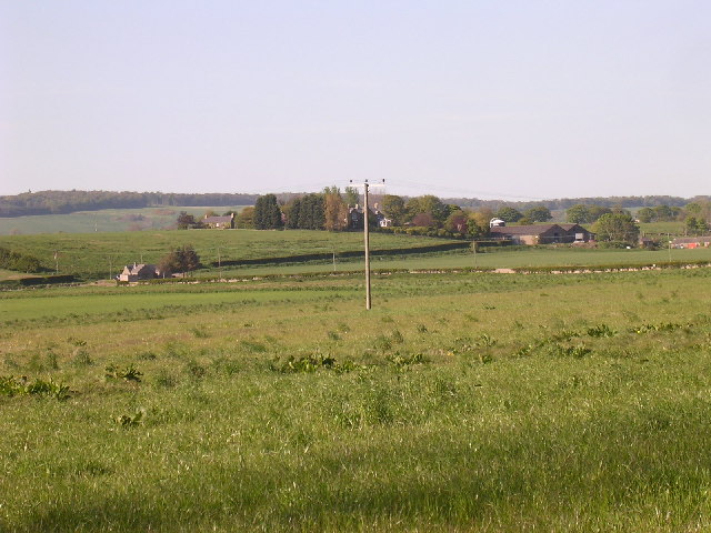
Image: © Val Vannet Taken: 13 May 2005
The view is taken from the extreme south west of the box on the A930 and looks north north east to Balhungie farm
Images are licensed for reuse under creativecommons.org/licenses/by-sa/2.0
Image Location


Leaflet Map data © OpenStreetMap
Latitude
56.49108
Longitude
-2.789251