Monifieth High School
Introduction
The photograph on this page of Monifieth High School by Val Vannet as part of the Geograph project.
The Geograph project started in 2005 with the aim of publishing, organising and preserving representative images for every square kilometre of Great Britain, Ireland and the Isle of Man.

There are currently over 7.5m images from over 14,400 individuals and you can help contribute to the project by visiting https://www.geograph.org.uk
Monifieth High School
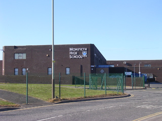
Image: © Val Vannet Taken: 13 May 2005
Much of the southern portion of this grid box is occupied by Monifieth High School and its grounds. The building opened its doors to pupils and teachers (the photographer amongst them) in August 1979.
Images are licensed for reuse under creativecommons.org/licenses/by-sa/2.0
Image Location


Leaflet Map data © OpenStreetMap
Latitude
56.481778
Longitude
-2.837767