Hill of Denmoss
Introduction
The photograph on this page of Hill of Denmoss by Anne Burgess as part of the Geograph project.
The Geograph project started in 2005 with the aim of publishing, organising and preserving representative images for every square kilometre of Great Britain, Ireland and the Isle of Man.

There are currently over 7.5m images from over 14,400 individuals and you can help contribute to the project by visiting https://www.geograph.org.uk
Hill of Denmoss
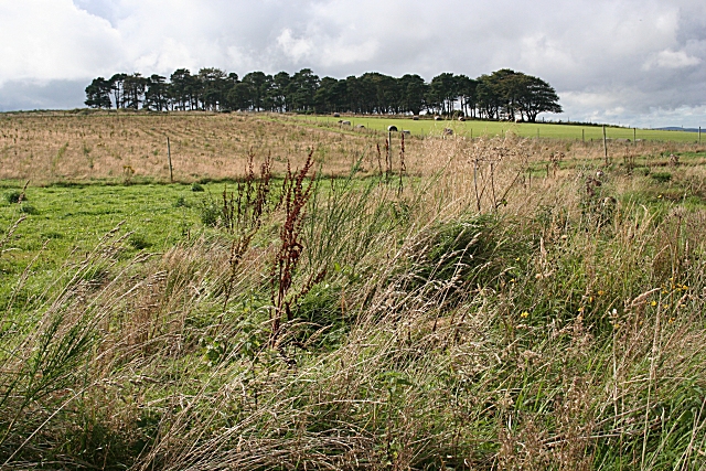
Image: © Anne Burgess Taken: 19 Sep 2008
The rough-looking land on the left of the hill has presumably been planted with forest, because it is surrounded by a deer fence.
Images are licensed for reuse under creativecommons.org/licenses/by-sa/2.0
Image Location
Latitude
57.470002
Longitude
-2.577665