Haremoss
Introduction
The photograph on this page of Haremoss by Anne Burgess as part of the Geograph project.
The Geograph project started in 2005 with the aim of publishing, organising and preserving representative images for every square kilometre of Great Britain, Ireland and the Isle of Man.

There are currently over 7.5m images from over 14,400 individuals and you can help contribute to the project by visiting https://www.geograph.org.uk
Haremoss
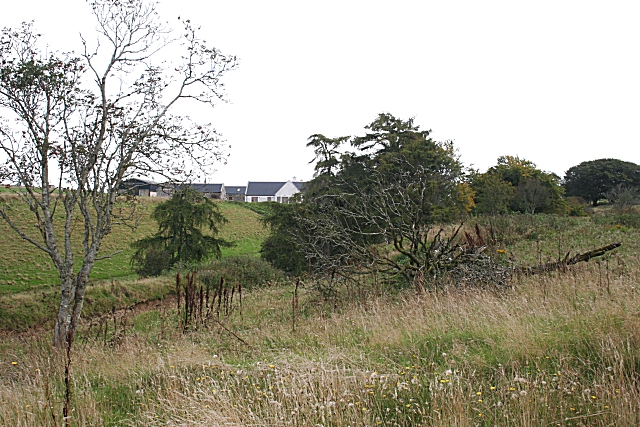
Image: © Anne Burgess Taken: 19 Sep 2008
The house is right on the grid line. In the foreground is the top of a sandy mound which has been quarried for sand and gravel.
Images are licensed for reuse under creativecommons.org/licenses/by-sa/2.0
Image Location
Latitude
57.475608
Longitude
-2.589092