Linslade: Bideford Green
Introduction
The photograph on this page of Linslade: Bideford Green by Nigel Cox as part of the Geograph project.
The Geograph project started in 2005 with the aim of publishing, organising and preserving representative images for every square kilometre of Great Britain, Ireland and the Isle of Man.

There are currently over 7.5m images from over 14,400 individuals and you can help contribute to the project by visiting https://www.geograph.org.uk
Linslade: Bideford Green
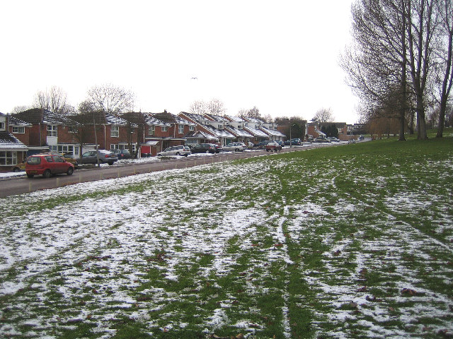
Image: © Nigel Cox Taken: 28 Dec 2005
Part of the large 1970s housing development on the western side of Linslade, viewed from the grassy embankment up to Soulbury Road, with a light dusting of snow on the ground. The road naming committee were obviously uninspired as every small cul-de-sac on the estate is on Bideford Green, and the house numbers run to 450 and beyond.
Images are licensed for reuse under creativecommons.org/licenses/by-sa/2.0
Image Location


Leaflet Map data © OpenStreetMap
Latitude
51.922509
Longitude
-0.688328