2008 : Lower Beanacre Farm
Introduction
The photograph on this page of 2008 : Lower Beanacre Farm by Maurice Pullin as part of the Geograph project.
The Geograph project started in 2005 with the aim of publishing, organising and preserving representative images for every square kilometre of Great Britain, Ireland and the Isle of Man.

There are currently over 7.5m images from over 14,400 individuals and you can help contribute to the project by visiting https://www.geograph.org.uk
2008 : Lower Beanacre Farm
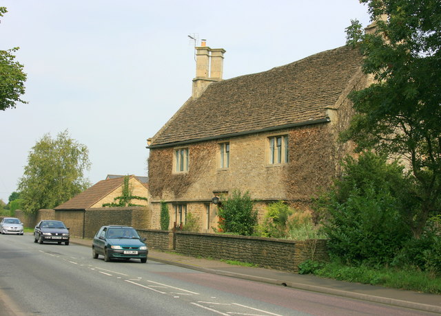
Image: © Maurice Pullin Taken: 16 Sep 2008
The A350 between Melksham and Chippenham passes the door. Upper Beanacre Farm is about 500m north towards Chippenham.
Images are licensed for reuse under creativecommons.org/licenses/by-sa/2.0
Image Location
Latitude
51.391605
Longitude
-2.140797