Former Congregational Church, Lavister
Introduction
The photograph on this page of Former Congregational Church, Lavister by Eirian Evans as part of the Geograph project.
The Geograph project started in 2005 with the aim of publishing, organising and preserving representative images for every square kilometre of Great Britain, Ireland and the Isle of Man.

There are currently over 7.5m images from over 14,400 individuals and you can help contribute to the project by visiting https://www.geograph.org.uk
Former Congregational Church, Lavister
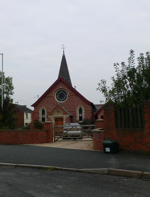
Image: © Eirian Evans Taken: 17 Sep 2008
On the corner of Chester Road and Darland Lane, this is now a house.
Images are licensed for reuse under creativecommons.org/licenses/by-sa/2.0
Image Location


Leaflet Map data © OpenStreetMap
Latitude
53.116177
Longitude
-2.938475