Bridge over the Twrch, Ystradowen
Introduction
The photograph on this page of Bridge over the Twrch, Ystradowen by Nigel Davies as part of the Geograph project.
The Geograph project started in 2005 with the aim of publishing, organising and preserving representative images for every square kilometre of Great Britain, Ireland and the Isle of Man.

There are currently over 7.5m images from over 14,400 individuals and you can help contribute to the project by visiting https://www.geograph.org.uk
Bridge over the Twrch, Ystradowen
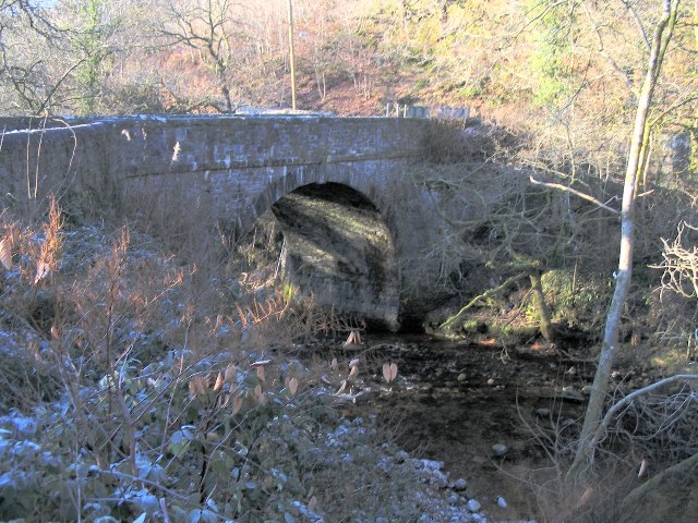
Image: © Nigel Davies Taken: 28 Dec 2005
A small dead end lane off the main road through Ystradowen crosses the river Twrch at this point and allows access to the public footpath that runs up the east side of the river.
Images are licensed for reuse under creativecommons.org/licenses/by-sa/2.0
Image Location


Leaflet Map data © OpenStreetMap
Latitude
51.798169
Longitude
-3.805394