Bow Back River
Introduction
The photograph on this page of Bow Back River by Dr Neil Clifton as part of the Geograph project.
The Geograph project started in 2005 with the aim of publishing, organising and preserving representative images for every square kilometre of Great Britain, Ireland and the Isle of Man.

There are currently over 7.5m images from over 14,400 individuals and you can help contribute to the project by visiting https://www.geograph.org.uk
Bow Back River
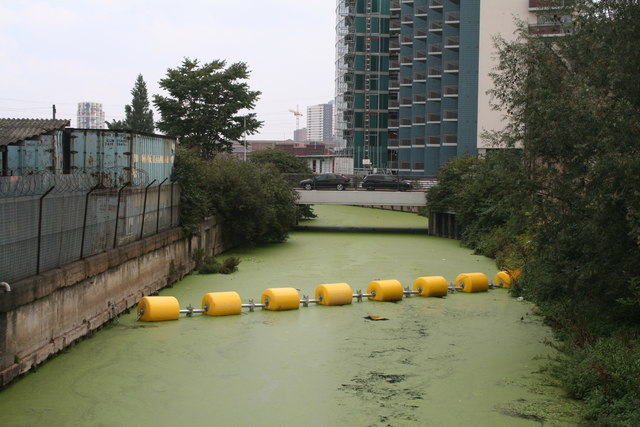
Image: © Dr Neil Clifton Taken: 18 Sep 2008
This waterway, which runs east from the Lee Navigation, is thought to be navigable but has been closed by the boom seen. The generic term 'Bow Back Rivers' in the plural, is often accorded to the complex of waterways, mainly side streams of the Lea, which lie to the east of this point.
Images are licensed for reuse under creativecommons.org/licenses/by-sa/2.0
Image Location
Latitude
51.530001
Longitude
-0.014831