Morfa Gele
Introduction
The photograph on this page of Morfa Gele by Jonathan Wilkins as part of the Geograph project.
The Geograph project started in 2005 with the aim of publishing, organising and preserving representative images for every square kilometre of Great Britain, Ireland and the Isle of Man.

There are currently over 7.5m images from over 14,400 individuals and you can help contribute to the project by visiting https://www.geograph.org.uk
Morfa Gele
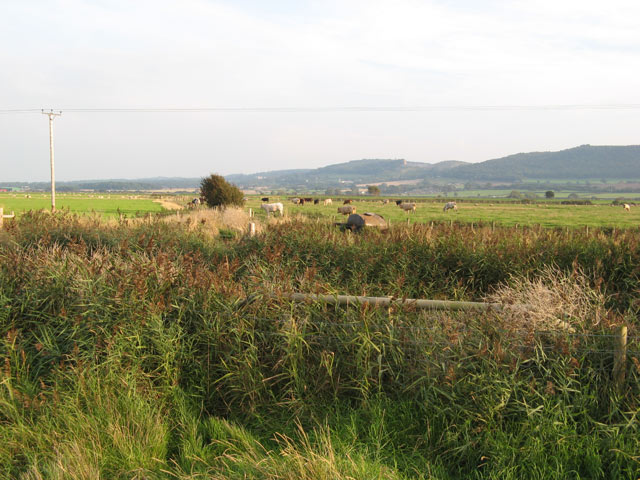
Image: © Jonathan Wilkins Taken: 18 Sep 2008
A view of the extensive meadows and grazing cows of the Morfa Gele, looking towards the hills marking the ancient coastline in front of which were the enormous salt-marshes which have now been drained and reclaimed. In the foreground is one of the network of drainage ditches that keep the area dry today.
Images are licensed for reuse under creativecommons.org/licenses/by-sa/2.0
Image Location
Latitude
53.29353
Longitude
-3.565509